Wednesday, November 15, 2017

Expecting


We're expecting! Which means I'm about to take a hiatus from this blog... Thank you for following and I hope you check back in a few months.


Monday, November 13, 2017

Saturday, November 11, 2017

Map for "Oh, Shenandoah!"


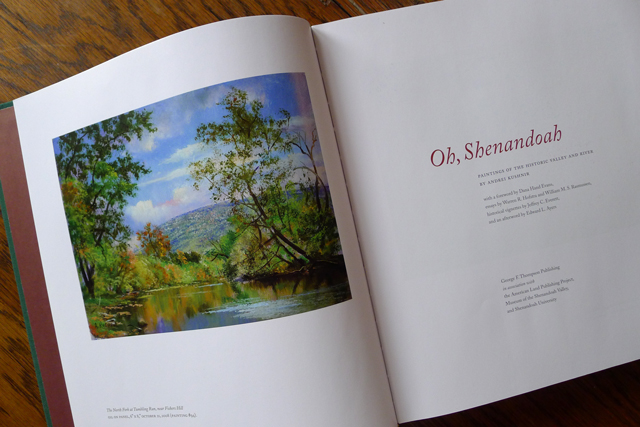
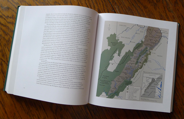
I created a map of the Shenandoah Valley for the first book of paintings ever published on one of America's historic and beautiful places. Oh, Shenandoah by A. Kushnir published by GFT.


Thursday, November 9, 2017

Map for "America's Endangered Coasts"

 I created 6 small abstract maps that indicate (in red) what portion of land will be lost with a 2 meter rise in the ocean level for the book America's Endangered Coasts: Photographs from Texas to Maine by John Ganis

 (Colors by committee... not my pick, but a very important book!)


Saturday, November 4, 2017

Map for "Death Valley: Painted Light"

I've also created a map for Strom's Death Valley: Painted Light book. I wish I could have seen it before print, as I would have made the font smaller... I was surprised at how large the map ended up being printed. Still, I'm very happy to be in this book.


Thursday, November 2, 2017

Map for "East Coast: Arctic to Tropic"

I created a map of the East Coast for the book East Coast: Arctic to Tropic by David Freese. A book and map that touch on how the coast presently faces a major peril from the rising sea brought about by global climate change.


Sunday, October 29, 2017

Maps for the book "Take Me to the River"

I created three maps for the book Take Me to the River by Kolster.  They are minimal, line drawings of the James River, Savannah River, and Schuykill River. His photographs are stunning! I'm honored to have my maps in this book!


Saturday, October 21, 2017

Tuesday, October 17, 2017

Wednesday, October 11, 2017

Green Tomatoes


Saved from the cold snap... some green zebras are actually almost ripe!


Sunday, August 13, 2017

Rainbow


With all the rain we've been getting in Colorado, we've been seeing a lot of beautiful rainbows!